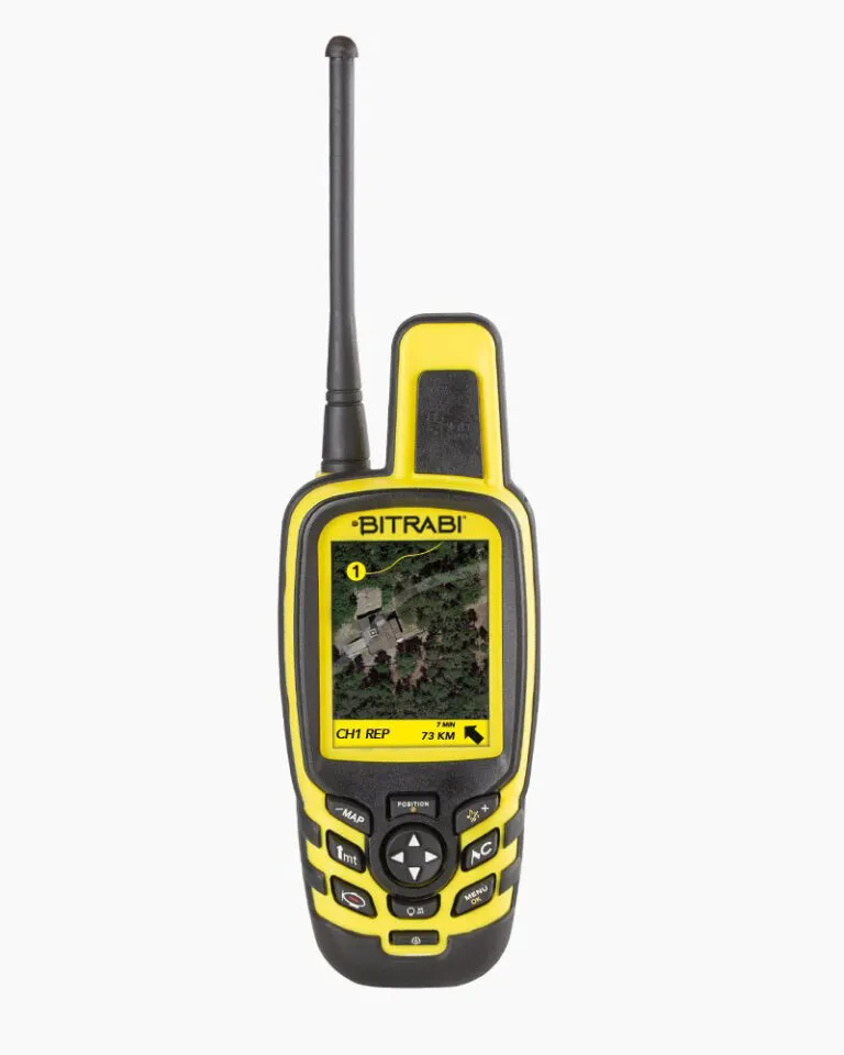

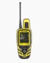

Precise location and reliable radio communication
The BS Planet 3000 OpenMap uses a multi-constellation GNSS system.
It operates with UHF radio communication compatible with BITRABI transmitters.
In practice:
- precise location
- reliable transmission
- continuous tracking of dogs
A solution suited for demanding territories.
Complete mapping of the terrain
The BS Planet 3000 OpenMap integrates topographic mapping with the option to add satellite maps.
This allows for precise reading of the terrain and movements.
On the ground:
- clear visualization
- better orientation
- accurate reading of movements
An important asset for unknown or complex territories.
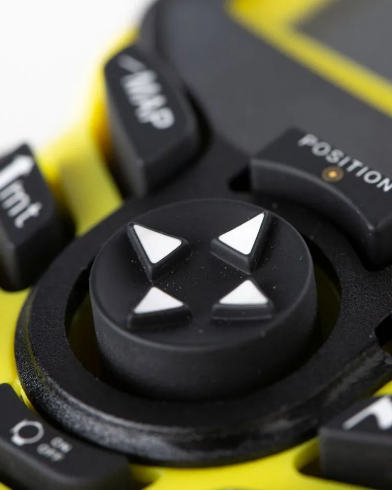
Directional display like a compass
The central unit integrates a directional display like a compass.
You can quickly visualize the dog's direction.
This allows for:
- quick reading
- more precise intervention
- better action management
Smartphone app version available
The BS Planet 3000 OpenMap can also be used via an app.
It is compatible with:
- MITO 5000 iOS and Android
- HUNTERWATCH
The connection functions require an active Silver license on the MITO 5000 platform.
This solution allows for:
- smartphone use
- complementary solution
- more flexibility in the field
Compatible with BITRABI collars
The central unit is compatible with:
- MITO 5100
- MITO 5200
- MITO 5300
- BTB6000 Hybrid
- other BITRABI UHF transmitters
Designed for the field
The BS Planet 3000 OpenMap is designed for real conditions:
- rain
- cold
- dense vegetation
- intensive use
Main features
- multi-constellation GNSS
- UHF radio communication
- Topographic mapping
- Compatible satellite maps
- Directional display like a compass
- Compatible with MITO 5100 / 5200 / 5300
- Compatible with BTB6000 Hybrid
- Compatible with HUNTERWATCH
- Compatible with BITRABI collars
- Robust design
What we appreciate in the field
- Complete mapping
- Reliable radio communication
- Application compatibility
- Clear reading
- Robust design
For whom?
For the hunter who wants a complete and reliable GPS mapping unit.
A precise tool.
Designed for demanding territories.
Accessory available
A central holder is available to keep hands free.
It allows for more comfortable use in the field and quick access to the screen.
You might also be interested in these items
Discover our alternative or complementary products for hunting
&c4=o-color-4&c5=o-color-5)
Easy returns
Quick refunds or easy exchanges, with peace of mind.&c2=rgba(0,0,0,.5)&c4=o-color-4&c5=o-color-5)
Guaranteed shipping
Enjoy fast and secure delivery on all orders with no hidden fees.&c4=o-color-4&c5=o-color-5)
Secure payment
Your information is protected with secure payment and reliable payment methods.&c2=rgba(0,0,0,.5)&c4=o-color-4&c5=o-color-5)